As Wildfire Trends Change, So Should the Use of Technology Meant to Detect Them
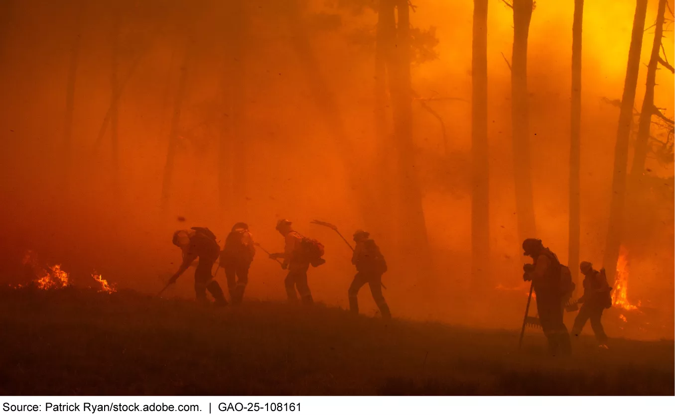
Wildfire season in the U.S. is typically early spring through fall. But this year has already seen major out-of-season fires. The Los Angeles County fires resulted in at least 30 deaths, as well as property and economic losses that could exceed $130 billion.
In recent years, wildfires have become more frequent and dangerous. The technologies that detect them are improving. But how could this tech be advanced to detect fires earlier?
Today’s WatchBlog post looks at our new Science & Tech Spotlight on wildfire detection tools.
Image
How is current wildfire detection technology being used?
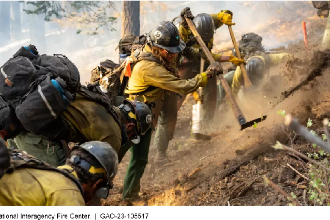
Detecting wildfires sooner could enable quicker responses to stop them from spreading. This could prevent the tragic loss of lives, as well as homes and businesses.
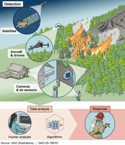
There are several technologies currently being used to detect wildfires. While they all have benefits, each has specific limitations that may reduce their effectiveness.
Satellites. The U.S. government has been using satellites to detect wildfires for decades. Specifically, NASA and NOAA (the National Oceanic and Atmospheric Administration) use satellites for this purpose. Satellites can capture images showing fires over large areas of land. But their altitudes and older sensors can make it hard for them to detect small fires before they escalate. Their image resolution is also limited, and data lags can occur.
There are efforts to improve these tools. For example, a private nonprofit group launched a satellite as a pilot program for detecting wildfires in 2025. This program aims to provide better resolution and faster data by having 50 such satellites in orbit by 2030.
Aircraft and drones. Federal agencies—including the Bureau of Land Management, the National Park Service, and the Forest Service—often deploy aircraft when a fire is reported or suspected. But such aircraft are only used sporadically for advanced detection. For example, they are used when fire season risks are high and warrant the costs of flying proactive patrols. Pilots also need specific training and certification, and smoke and fire can be hazardous to their health.
Drones can also be used to detect wildfires. Some utility companies use drones to inspect downed power lines and tree branches touching wires, which can cause fires. But drones have limited flight ranges and could crash if overtaken by smoke or fire.
Cameras and sensors. Many wildfires occur in remote areas. Cameras near wildlands can monitor for smoke or fire in real time. Portable sensors that measure air quality can also be placed on or near trees to look for changes in heat or humidity that may indicate a fire.
Cameras and sensors can be arranged in networks within areas of high fire risk. This method has been used in California. It started using images from over 1,100 cameras statewide in 2023 to detect wildfires. Similarly, the Department of Homeland Security has an ongoing study of hundreds of air-quality sensors.
However, putting wildfire cameras and sensors in remote areas, and making sure the data they collect is accurate, can be challenging.
Current and Emerging Wildfire Detection Technologies
Image
What’s next for wildfire detection technology?
Researchers and companies, as well as states and federal agencies, are looking for ways to improve wildfire detection. They want to improve the speed and accuracy of these technologies so that they can better direct responders, reduce the number of false alerts, and save costs.
But there are important issues to consider. For instance, since some of this tech is still being assessed, it’s hard to know the best and most cost-effective combination to use. Technology costs also need to be balanced with the costs of other fire prevention efforts (such as clearing vegetation).
Finally, it isn’t easy to integrate and compare the data collected from different detection tech by various public and private organizations—especially during an emergency when responders must analyze information and respond quickly. One approach that could help is a unified tool that pulls data from all relevant tech to provide a real-time view of potential wildfires. This could help federal, state, local, and private organizations detect and respond to wildfires faster.
Learn more about wildfire detection technology by checking out our recent Science & Tech Spotlight.
- GAO’s fact-based, nonpartisan information helps Congress and federal agencies improve government. The WatchBlog lets us contextualize GAO’s work a little more for the public. Check out more of our posts at GAO.gov/blog.
- Got a comment, question? Email us at blog@gao.gov.
GAO Contacts


Related Products

GAO's mission is to provide Congress with fact-based, nonpartisan information that can help improve federal government performance and ensure accountability for the benefit of the American people. GAO launched its WatchBlog in January, 2014, as part of its continuing effort to reach its audiences—Congress and the American people—where they are currently looking for information.
The blog format allows GAO to provide a little more context about its work than it can offer on its other social media platforms. Posts will tie GAO work to current events and the news; show how GAO’s work is affecting agencies or legislation; highlight reports, testimonies, and issue areas where GAO does work; and provide information about GAO itself, among other things.
Please send any feedback on GAO's WatchBlog to blog@gao.gov.